Programa Nube de Puntos
El programa está diseñado para procesar nubes con una gran cantidad de puntos (del orden de cientos de millones). Las funciones principales incluyen varias modificaciones, como la reducción de puntos, el recorte de nubes, el cambio de coordenadas u opciones especiales, como la eliminación de vegetación, etc.
El programa se utiliza principalmente para preparar y transferir datos al programa Estratigrafía: los datos se transfieren utilizando el Portapapeles (todos los datos) o FineClipboard ™ (nubes individuales en modo de Edición).
Las nubes de puntos resultantes también se pueden exportar en formatos .las o .e57, o sus coordenadas en formato de texto.
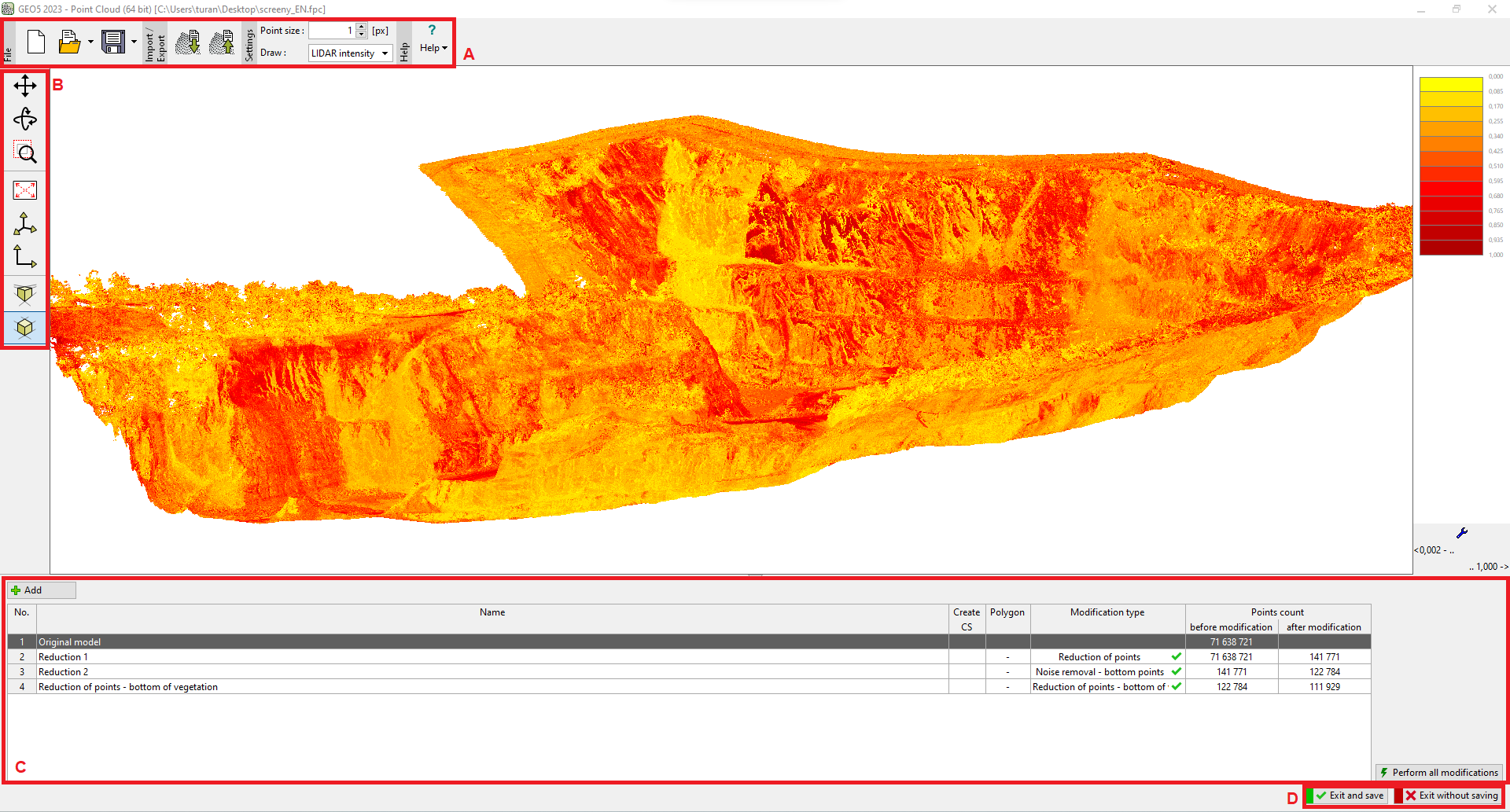
El elemento de control principal del programa es la barra de herramientas superior (A), que se divide en varias secciones:
- Resultados (3)
- Clipboard (4)
- Cambio de modo (Proyecto / Sitio de construcción / Edición) (5)
- Etapas de construcción (6)
- Configuración de visualización para puntos individuales (7)
- Ayuda y configuración de entorno (8)
Barra de herramientas lateral (B): se utiliza para la configuración de visualización
 Programa "Nube de Puntos"
Para un trabajo más rápido, recomendamos utilizar la versión de 64 bits, necesaria para nubes de puntos con más de 10 millones de puntos.